
Charleston County Previous Residents by Record Era
Past address research is best handled as an address history, not as one giant name search. Start with the current assessor record and save the Tax Map Sequence, also called a TMS or PIN, the situs address, and the data-as-of date. Then select the source that matches the period. The Register of Deeds supplies the title path. City directories provide a dated occupant clue in the years and localities they cover. Census schedules place households in their released census year, while maps and permits describe the building or public activity. A source can lead to the next source, but each has its own limits.
| Source | Years it covers | Charleston keeper | What it can show |
|---|---|---|---|
| ROD deed / mortgage index | 1978-present | Charleston County Register of Deeds online | Grantor, grantee, instrument date, book/page, and tracer path |
| ROD books and film | 1719-1960 books; 1960-2005 film/microfiche | ROD History Room | Earlier deeds, plats, and title-chain continuity |
| City directories | 1735-present, with listed gaps | CCPL South Carolina Room / databases | Listed name, address, and occupation clues for a publication year |
| Federal census | Released through 1950 | CCPL databases and federal sources | Household composition and district or ward context |
| Sanborn maps | 1884, 1888, 1902, and 1944 editions identified | Library of Congress and CCPL map databases | Building footprint, material, use, and street orientation |
| Wills and estate indexes | Charleston County indexes 1671-1868 | CCPL / South Carolina Archives | Heirs, estates, and succession leads |
Use the online deed record for a recent transfer. Use the History Room when the index ends. Use directories and census material to distinguish a recorded owner from a listed household. Note: The strongest address history shows the date and role attached to every name instead of calling every name a resident.
Charleston County Previous Residents Start With TMS
The Charleston County Assessor Search is the current-property starting point. Its parcel record can show the TMS/PIN, data-as-of date, legal-residence and homestead indicators, value history, improvement details, and a building sketch where available. The assessor's owner field identifies an assessed ownership record, not a complete household. The tax mailing address is correspondence information and can be a post-office box, a business, a fiduciary address, or another location. Keep it separate from the situs address, which is the physical location of the parcel.
For a Charleston County address that looks different in an older record, preserve the TMS, legal description, lot or subdivision reference, cross streets, and any plat citation before moving backward. A street number can change form across a map, directory, ward record, or later subdivision. The legal description is often the bridge between those records because it identifies the land rather than only the current postal label. This opening step prevents a house-history search from joining two different parcels merely because the street names look similar.
Charleston County Previous Residents Beyond Online Index
The county's unusually long deed trail is a key part of researching earlier households. The Charleston County Register of Deeds says its online deed and mortgage index and tracer data begin in 1978. Its current office material states web images from October 1994, while the office disclaimer describes online images from 1997. Rather than assume every document image will appear, check the actual book or reference and ask the ROD when a particular image is needed. The split matters because the physical record base reaches much farther back.
The ROD type-and-date search shows the deed and mortgage choices and requires a beginning and ending record date.
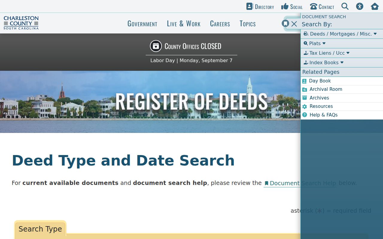
The form is one modern access channel. For earlier work, the ROD reports physical document access from 1719-1960 and film or microfiche from 1960-2005 in the History Room at 101 Meeting Street. Pre-1719 conveyance research goes to the South Carolina Department of Archives and History's Columbia Conveyance Books. This long county record history means a current parcel can lead back through centuries of local and state archival records when book, page, plat, and legal-description references are kept intact.
Charleston County Previous Residents and Sanborn Maps
Sanborn maps help date a structure, not a household. The Library of Congress identifies Charleston editions from 1884, 1888, 1902, and 1944, and CCPL provides additional map-database access. Compare the map sheet's building footprint, material, use notation, ward, and street context with a directory street entry, a deed or plat, and the assessor's improvement information. A later public permit, inspection, or code record can help bracket construction or alteration activity. It cannot by itself establish who occupied the property.
The Library of Congress 1884 Charleston Sanborn set is one public starting point for the built-environment layer.
A mismatch deserves a note, not a forced answer. It can signal a new structure, changed address, street realignment, annexation, or a difference between municipal and county geography. The research did not identify an official countywide master list of historic renumbering or renaming dates. Confirm a particular conversion through CCPL city and land records, historic maps, city addressing staff, and the relevant directory volume.
Charleston County Previous Residents and Address Continuity
Charleston County is countywide, but a familiar Charleston mailing name does not by itself establish a municipal jurisdiction. Annexation, island and coastal geography, ward names, old tracts, and suburban locality headings can alter the route to a record. CCPL cautions that city-directory street indexes generally do not exist before 1890, except 1840-41. Mid-century volumes can put North Charleston, Navy Base, East of the Cooper, or West of the Ashley in a separate section. A historic address investigation should therefore include the historical locality and cross streets, not just a current house number.
For an older rural, island, or early city parcel, record the tract, parish, lot/block, subdivision, plat, and legal description wherever the source provides it. The ROD defines a plat as a scaled survey drawing that defines parcel size and boundaries. A TMS/PID identifies the parcel in the present county system. Neither a ZIP code nor a tax mailing address replaces that description for a backward title chain. Note: Preserve unexplained address differences as research questions until a deed, plat, map, or dated directory resolves them.
Trace Charleston County Previous Residents Through Deeds
A deed chain follows recorded property parties backward, one transfer at a time. Start with the present assessed owner and look for that name as the grantee, or buyer, in the ROD index during a reasonable date range. Open the likely acquisition record and capture the recording date, grantor, grantee, document type, book/page or tracer reference, legal description, and plat reference. Then search the seller as a grantee to locate that person's earlier acquisition. Co-owners, estates, trusts, entities, name variants, quitclaims, and changed legal descriptions all deserve separate checks before a person is connected to a parcel.
- Use the assessor record to capture the current TMS, situs address, owner of record, and data-as-of date.
- Search the current owner's acquisition as a grantee in the ROD name-and-date or related search path.
- Compare the deed's legal description and plat reference with the parcel data before accepting the match.
- Search the seller from that deed as a grantee to find the preceding acquisition, then repeat.
- When the online index reaches 1978, take the book/page and legal-description notes to the ROD History Room for earlier books and film.
- Grantor / grantee
- The grantor transfers an interest in the document; the grantee receives it. The role must be read from that specific instrument.
- Chain of title
- A documented sequence of recorded transfers and related references for the same parcel or tract.
- Legal description
- The land description in a deed or plat. It is more reliable than a street number when an address changes over time.
A recorded party may be a seller, buyer, trustee, representative, lender, or other named role. The document should be described by that role, not treated as a full household roster.
CCPL Route to Charleston County Previous Residents
CCPL's Useful Materials for Historic Property Research in the City of Charleston and the Lowcountry gives Charleston County researchers a direct path through directories from 1782, street cross references, city and land records, deed indexes, maps, archives, and catalog research. The South Carolina Room offers genealogy help by appointment at 843-805-6956. Bring the precise address, known spelling variants, TMS, legal description, and a date range. The library materials do not replace the ROD title search. They help translate a legal parcel into the historical people, streets, and structures attached to it.
CCPL's historic-property guide outlines the county-specific research path.
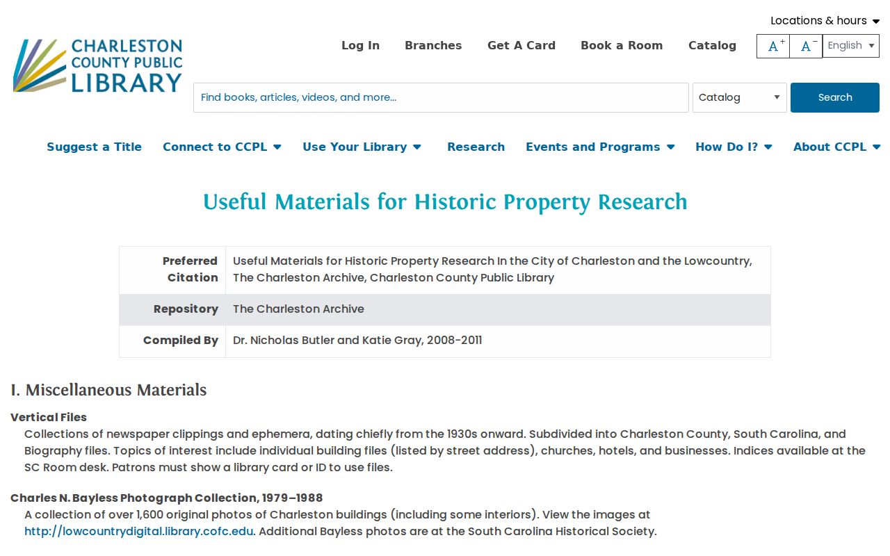
The guide reinforces a sound order of work: identify the property precisely, then compare directory, map, deed, and archive sources instead of relying on a remembered street number.
The CCPL South Carolina Room holds the books, microforms, maps, clipping files, and databases that support this longer historical trail.
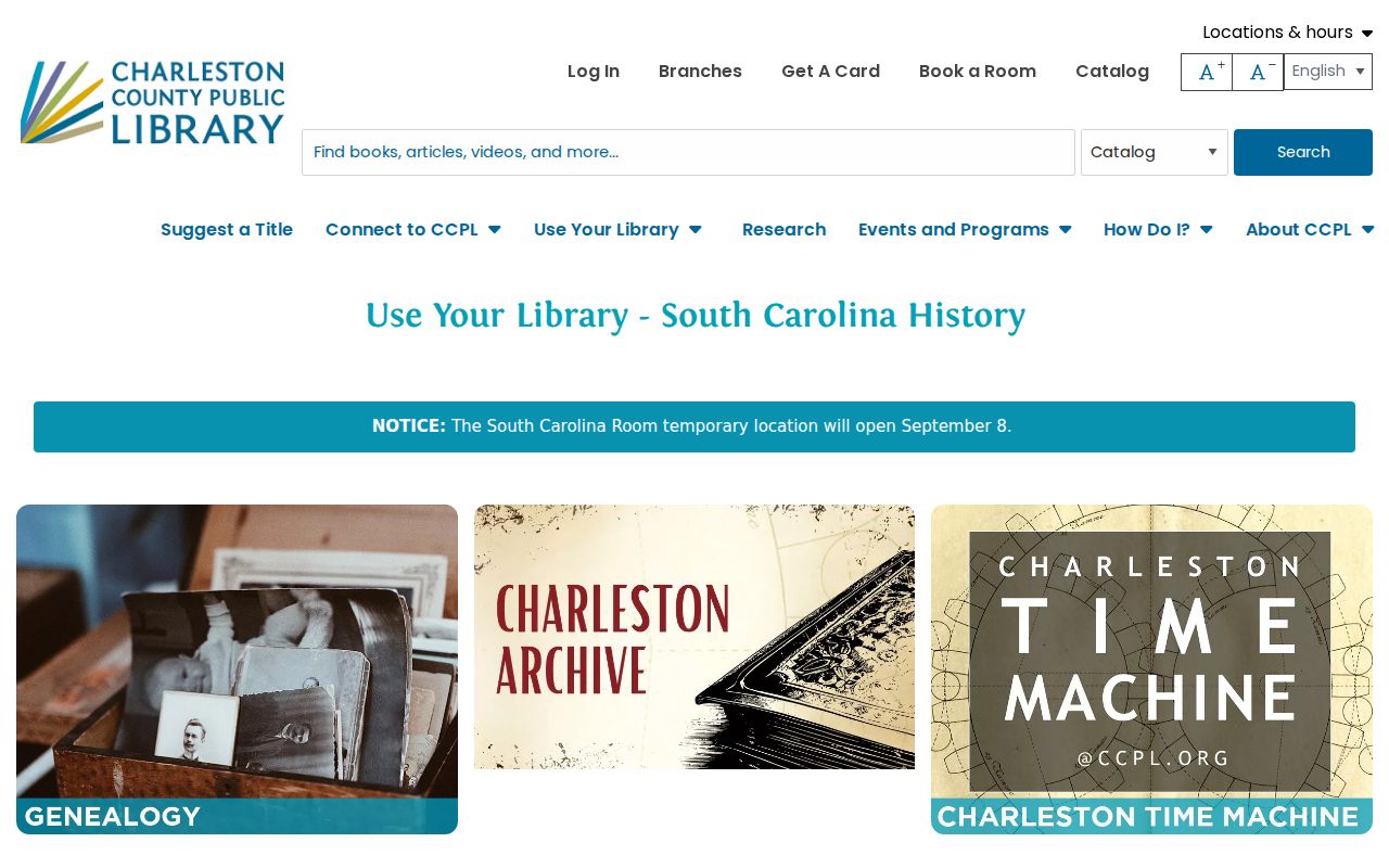
Its collections include marriage microfilm for 1879-1922 and Charleston County wills and miscellaneous-record indexes for 1671-1868, both useful when an address trail reaches a family event or estate.
Charleston County Previous Resident Households
Former occupants are not always past owners. City directories can supply an address-to-listed-occupant clue in a particular publication year, while the nearest released census adds household composition and district context. Use the directory's street section only when the edition has one. The city-directory collections themselves are described in the Charleston County city directory material, including the 1890 street-index threshold, the 1840-41 exception, and the separate locality sections found in some mid-century volumes. Pair the printed entry with a deed rather than turning an occupant clue into title proof.
CCPL's city-directory holdings provide the directory layer for a dated Charleston County address search.
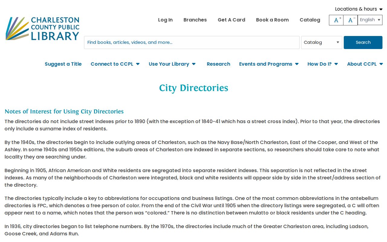
Transcribing the person, address, occupation clue, locality section, and volume year makes each listing usable beside a census schedule or deed reference.
For a deceased former resident, compare an official death-index or certificate lead, an obituary or newspaper collection, and a Charleston County Probate Court estate or will file within its access rules. CCPL and the Charleston Library Society also point to parish records, manuscripts, early newspapers, and digital collections. These sources can suggest a relationship or date, but the underlying probate, vital, deed, or directory source remains the record to test.
Charleston Library Society's Digital Library links its digitized Charleston directories with Lowcountry archival material.
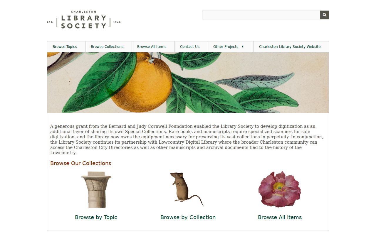
The collection adds local context, while the deed chain and dated directory entries keep a house history anchored to a particular parcel and year.
Lawful use. Charleston County past-resident research is suited to family history, house history, estate questions, and personal curiosity. Do not use public details to stalk, harass, or harm a living person.