
Start a Charleston County Street Search
A street directory search in Charleston County is an address workflow, not a roster of everyone at every house. Start with the complete situs address in the assessor search or County Parcel Viewer. Confirm the directional prefix, suffix, unit, and county before saving the parcel's TMS or PIN and the card's data-as-of date. That number is the durable link between the tax card, the map, permits, plats, and deed references. In the City of Charleston's CSS system, a Charleston County TMS uses a C prefix, while a Berkeley County parcel uses B. That small distinction prevents a city permit search from being attached to the wrong county record.
The first result may identify a current assessed owner, a parcel, and property facts. It does not establish every person who lives there. A tax mailing address can be a post-office box, a business, an estate representative, or an address outside the county. Treat it as correspondence information, then compare the situs address and recorded instrument before drawing a conclusion.
- Enter the address in the Charleston County Assessor Search and save the matching TMS/PIN.
- Open the same address in the County Parcel Viewer, then inspect the selected parcel and the adjoining boundaries.
- Use the current owner as a grantee in the Register of Deeds index, checking the deed's legal description against the parcel.
- For city-address activity, check the CSS permit, inspection, and code-case path; record case type, date, and the person's documented role.
- For an older year, consult the applicable CCPL street section and then verify the listed occupant with a deed, census, probate, or obituary source.
Read Charleston County Parcel Cards
The Assessor's public card is the street directory's current property layer. It can display the PIN, data-as-of date, legal-residence and homestead indicators, land and improvement values, multiyear value history, construction details, and a building sketch when one exists. The county says the office maintains recorded sales, permits, and tax maps for reassessment. Those fields make the card useful for identifying the parcel and inspecting its assessment history. They do not turn a legal-residence classification into a list of household members.
The Assessor search screen is the starting point for this Charleston County street directory workflow. The card's owner and mailing-address fields should be read live because the displayed date matters.
The search view shows why address, owner-name, and TMS paths converge on one parcel record. Preserve the TMS before moving to maps or deeds.
| Parcel field | Input or result | How to read it |
|---|---|---|
| Owner name | Optional search | Try full and variant spellings; a match needs parcel confirmation. |
| Address | Optional search | Use the physical street address to identify the likely parcel. |
| PIN / TMS | Optional search | The local parcel identifier used to locate the record. |
| Parcel card | Result link | Check the card date, value history, and available sketch. |
Map a Charleston County Street
The GIS viewer supplies the geography the assessor card lacks. Search by address, road, or parcel number, select the result, and pan along the street to see parcel boundaries. Its documented tools include layers, map view, measure, print, parcel labels, address labels, and a buffer-distance box in feet. A buffer or label export makes a parcel-reference worklist. It is not a directory of people or a statement that every nearby address is an occupied home.
Save cross streets, the road spelling, subdivision or plat label where present, and the map date. Charleston County includes municipalities, islands, and edge areas where a Charleston mailing name does not settle jurisdiction. County GIS and TMS data, not a ZIP or mailing city, determine the property-record path.
Follow Charleston County Deed Roles
The Register of Deeds indexes parties and instruments rather than ordinary street addresses. After finding the parcel, search the current owner as grantee, open the likely acquisition record, and compare recording date, book/page, legal description, and plat reference with the TMS. Then search the seller as a prior grantee and repeat. Grantor means seller, grantee means buyer, while mortgage parties and trustees carry other roles. The wording in the instrument matters.
Charleston County's web index and tracer data begin in 1978. The office reports physical record access from 1719 through 1960 and film or microfiche from 1960 through 2005, with older access through its History Room. That long records history is a reason not to stop when the online result ends.
Use the ROD type-and-date search for its Deeds or Mortgages choices and required beginning and ending record dates.
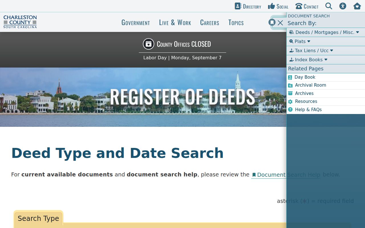
The form makes the date range and party role part of the search, so a broad name hit needs a legal-description check before it is tied to a street.
Use Charleston Address Case History
Within the City of Charleston, Customer Self Service is an address-keyed public-record path. Its public-information search accepts a city street address or TMS and can narrow results to permits, plans, inspections, and code cases. A case-number link can open areas for fees, reviews, inspections, attachments, contacts, sub-records, and more information. Results may be exported to CSV. County online services separately routes to county permit, plan, and code resources.
A permit or code contact can be an owner representative, contractor, architect, or business contact. Record the case number, type, and date rather than treating that name as an occupant. Municipal scope also matters: City CSS follows the city's records and does not replace Charleston County parcel or deed research.
Charleston County Street Record Paths
Each Charleston County street directory source answers a limited question. The assessor identifies a parcel and assessed ownership facts. GIS puts that parcel beside its neighbors. The ROD identifies recorded parties and legal descriptions. City directories can supply an address-to-listed-occupant clue for a particular year. Keeping those distinctions intact produces a more reliable trail than treating one search result as a complete resident record.
| Record Set | Keeper | What It Shows | Access |
|---|---|---|---|
| Assessor parcel card | County Assessor | TMS, assessment facts, and assessed owner | Public search by address, owner, or TMS |
| Parcel Viewer | County GIS | Parcel geography, adjoining boundaries, road context | Public map search and selection tools |
| Deed index and records | Register of Deeds | Parties, instrument date, book/page, legal description | Web index, History Room, and fee-based copies |
| CSS or county permit record | City or County | Public permit, inspection, plan, or code activity | Address/TMS path where jurisdiction applies |
| Printed city directory | CCPL South Carolina Room | Listed person at an address in one publication year | Collection and year dependent |
Parcel number, legal description, book/page, and street address form the comparison set. The street name alone is often too weak, especially where municipal lines or historic locality headings divide a familiar place name.
Charleston Street Listings by Year
CCPL's city directories are the historical layer for a Charleston County street directory. Street indexes generally begin in 1890, with an exception for 1840–41. For a later volume, find the street section, check the relevant number and adjoining entries, then return to the alphabetical entry for occupation or business information. During the 1940s and 1950s, Navy Base/North Charleston, East of the Cooper, and West of the Ashley may appear in separate locality sections. By the 1970s, the sequence reaches much of Greater Charleston.
A criss-cross directory is the street-order part of a directory. A plat is a survey drawing that fixes parcel boundaries. A situs address is the physical parcel location, unlike a tax mailing address. Those terms keep an address trail from becoming a claim about an entire household. The full collection runs and entry conventions are detailed in the Charleston County city directory section.
Note: Read the volume's introduction and abbreviation key before expanding a shorthand notation or treating an absent name as proof of a move.
Charleston County Voter Boundaries
MySCVotes is an individual verification portal, not an online street-by-street voter directory. It asks for county, first and last name, date of birth, and the last four digits of a Social Security number exactly as the registration card shows. South Carolina law makes registration applications subject to public inspection, but the research did not identify an official online all-voters-by-street search. A focused question about inspection or copies belongs with the Charleston County Board of Voter Registration & Elections, subject to confidentiality safeguards and the Family Privacy Protection Act.
Charleston County Address Jurisdiction
Charleston County includes the City of Charleston, North Charleston, Mount Pleasant, islands, and unincorporated areas. City-created permits, business licenses, municipal-court matters, and Records Center holdings follow the relevant municipality, while parcel, deed, probate, election, and most trial-court paths are countywide. A Charleston mailing name does not silently convert every record into a City of Charleston record. Before using CSS or a city office, verify the parcel through the County GIS and check the actual municipality.
This distinction is especially important near county and city edges. A City CSS search accepts a Charleston County TMS with a C prefix and a Berkeley County parcel with B, but a Charleston city address can span multiple county contexts. Confirm the property and record creator before connecting an address to a permit, court, or deed result.
Charleston Street Directory Limits
No official countywide online household roster lists everyone along a Charleston County street. An assessed owner may live elsewhere, a deed party may have acted as trustee or lender, and an old directory reflects only its publication year. Utility customer lists and motor-vehicle address records are not public resident rolls. Court records also no longer display home addresses in the County Public Index as of January 1, 2026. Sealed files, redactions, and the South Carolina Address Confidentiality Program can properly limit what appears.
Lawful use. Charleston County address records are for personal, family-history, property, civic, or safety research. Do not use them to stalk, harass, intimidate, or harm anyone.