
Charleston County ZIP Coverage
Charleston County's ZIP code directory follows delivery geography across the peninsula, North Charleston, East Cooper, barrier islands, and rural coastal communities. USPS delivery labels are useful for mailing and address confirmation, but they do not prove a city limit, county boundary, or parcel jurisdiction. The table groups principal delivery and special codes documented in the local research. Enter the actual address in USPS and compare it with County GIS when a record search needs a jurisdiction answer.
| ZIP Code | Areas Covered | Post Office | Notes |
|---|---|---|---|
| 29401, 29403 | Downtown and upper peninsula | Charleston | Delivery geography is not city-limit proof. |
| 29404, 29405, 29406, 29418, 29420 | North Charleston and county-edge routes | North Charleston | Some North Charleston routes involve more than one county. |
| 29407, 29412, 29414 | West Ashley and James Island | Charleston | Check parcel layers for service and municipal boundaries. |
| 29429, 29453, 29464, 29466 | Awendaw, McClellanville, Mount Pleasant, East Cooper | Local routing labels | Rural and coastal delivery areas need address-level verification. |
| 29439, 29451, 29455, 29482, 29492 | Folly Beach, Isle of Palms, Johns Island, Sullivan's Island, Daniel Island | Island and Charleston labels | Water, city limits, and postal routes do not line up neatly. |
| 29409, 29413, 29424, 29425, 29430, 29431, 29432, 29434, 29458, 29465 | Special, PO-box, institutional, or unique routing | Charleston or local label | Confirm whether a specific delivery address is eligible. |
Edge examples show why the Charleston County ZIP code directory needs caution. Ladson can cross Charleston, Dorchester, and Berkeley geography. Ravenel can involve Charleston and Colleton county geography. Johns Island, Edisto Island, and a Charleston mailing name each require a parcel check. Codes such as 29413 and 29465 are mailing or special-routing clues, not a physical-neighborhood shortcut.
Charleston County Address Portals
The Charleston County online-services gateway gathers tax, court, permit, and parcel links that become useful after a ZIP code has been verified at the address level.
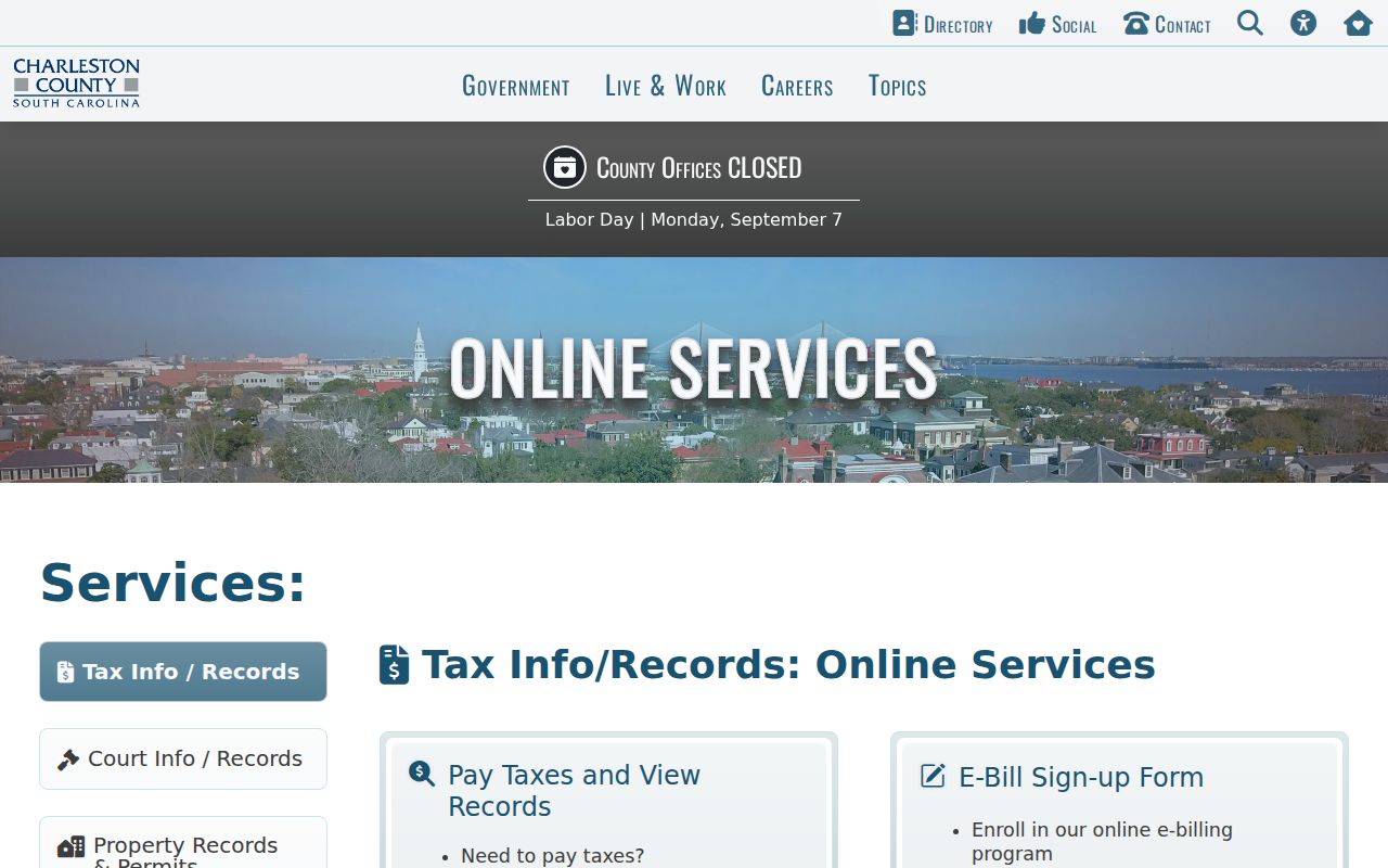
The gateway is a route to the right record custodian, not a ZIP-wide property or resident search tool.
The County Assessor Search accepts an address, owner name, or TMS to locate the exact parcel.
Once the parcel card is open, its TMS and situs information provide a more reliable bridge to deeds, maps, and tax records than the postal ZIP alone.
Charleston Postal and Parcel Fields
A delivery ZIP is just one address field. The situs address is the physical parcel location used in assessment, GIS, and permit work. A mailing address is correspondence data and can be outside Charleston County. The legal description, such as lot, block, subdivision, or metes-and-bounds wording, ties deeds and plats to ownership. The county TMS or PIN is the local parcel identifier. Record all four when they appear instead of substituting a ZIP for a parcel reference.
- ZIP and ZIP+4
- A five-digit delivery area and its extra four-digit delivery segment, not a property boundary.
- PO-box ZIP
- A routing code for mailboxes that may not identify a geographic delivery neighborhood.
- Unique ZIP
- A special code used for an institution or defined mail operation; verify the address itself.
- Carrier route
- A postal delivery sequence, not a municipal line or public resident record.
ZIP Limits in County Searches
The inspected Charleston County Assessor and GIS tools search by address, owner, road, parcel, or TMS. Neither documented interface supplies a ZIP-wide owner filter. City CSS likewise documents address and TMS paths, not a ZIP filter. That limitation matters: the correct workflow is to validate the delivery ZIP with USPS, then use the complete address or TMS in the relevant local system. A ZIP code directory should not promise a countywide list of people or properties by postal code.
| Tool | Recorded search fields | ZIP result? |
|---|---|---|
| County Assessor | Owner name, address, PIN/TMS | No verified ZIP filter |
| County Parcel Viewer | Address, road, parcel number | No verified ZIP-wide query |
| City CSS | City address or TMS, case category | No documented ZIP field |
| USPS lookup | Specific delivery address | Verifies the assigned delivery ZIP |
Use a Charleston County ZIP Carefully
There is no verified official Charleston County ZIP-wide resident search. A ZIP code can organize a worklist of known addresses, but every official property, permit, or deed inquiry still needs an address, TMS, name, date, or case reference. MySCVotes is an authorized individual login requiring county, name, date of birth, and the last four Social Security digits. It is not a neighborhood or ZIP browse.
- Verify the exact delivery ZIP with the official USPS ZIP Code lookup.
- Enter the full address in the County Parcel Viewer and confirm county and municipal context.
- Use the returned address or TMS in the Assessor Search to locate the parcel card.
- When a recorded instrument is needed, compare the parcel's legal description with the Register of Deeds index rather than filtering by ZIP.
Once a ZIP has narrowed the address, the Charleston County street directory workflow handles the parcel-by-parcel record trail.
Charleston County Coastal ZIP Geography
The county's peninsula, rivers, islands, and suburban growth explain the irregular postal picture. 29426 is associated with Adams Run, 29449 with Hollywood, 29453 with McClellanville, 29470 with Ravenel, and 29482 with Sullivan's Island. Mount Pleasant has major East Cooper service in 29464 and 29466. A ZIP is useful when comparing delivery records, but the County GIS remains the better route for parcel jurisdiction across water, municipal edges, and annexation areas.
Note: Postal-city wording and a Charleston mailing name can differ from the municipality or county agency that holds the relevant record.
Charleston ZIPs in Historic Research
Modern ZIP codes do not appear in older Charleston records. When a family-history or house-history search moves backward, keep cross streets, ward, TMS, legal description, lot or block, subdivision, and map-sheet references alongside the modern mailing address. CCPL's historical directories generally offer street sections from 1890 onward, with an 1840–41 exception. Earlier searches often need a name, ward, locality, or legal-description approach instead of a postal address.
Charleston's mid-century directory volumes can file Navy Base/North Charleston, East of the Cooper, and West of the Ashley in separate locality sections. By the 1970s, the sequence expands across much of Greater Charleston. A modern ZIP can help organize today's address, but it does not convert an older city directory entry into a county or city boundary. Pair it with the nearest released census, a Sanborn map where useful, and the recorded title trail.
ZIP Codes and Charleston Limits
Charleston County includes the City of Charleston and many other municipalities, plus unincorporated areas. City annexation depends on factors including contiguity and City Council approval, so a Charleston postal label does not establish City of Charleston jurisdiction. The city itself can extend into other counties. Use the parcel viewer, TMS, and the correct municipal or county office before searching permits, taxes, or court-related records. Postal geography is practical, but it cannot replace the record custodian's boundary.
- County jurisdiction
- The county agency that maintains the parcel, deed, or tax record for the actual location.
- Municipal jurisdiction
- The city or town whose permit, code, or local court records may apply to the address.
- Postal label
- The delivery city and ZIP assigned to mail, which may cross those government boundaries.